CacheMap Help & FAQ
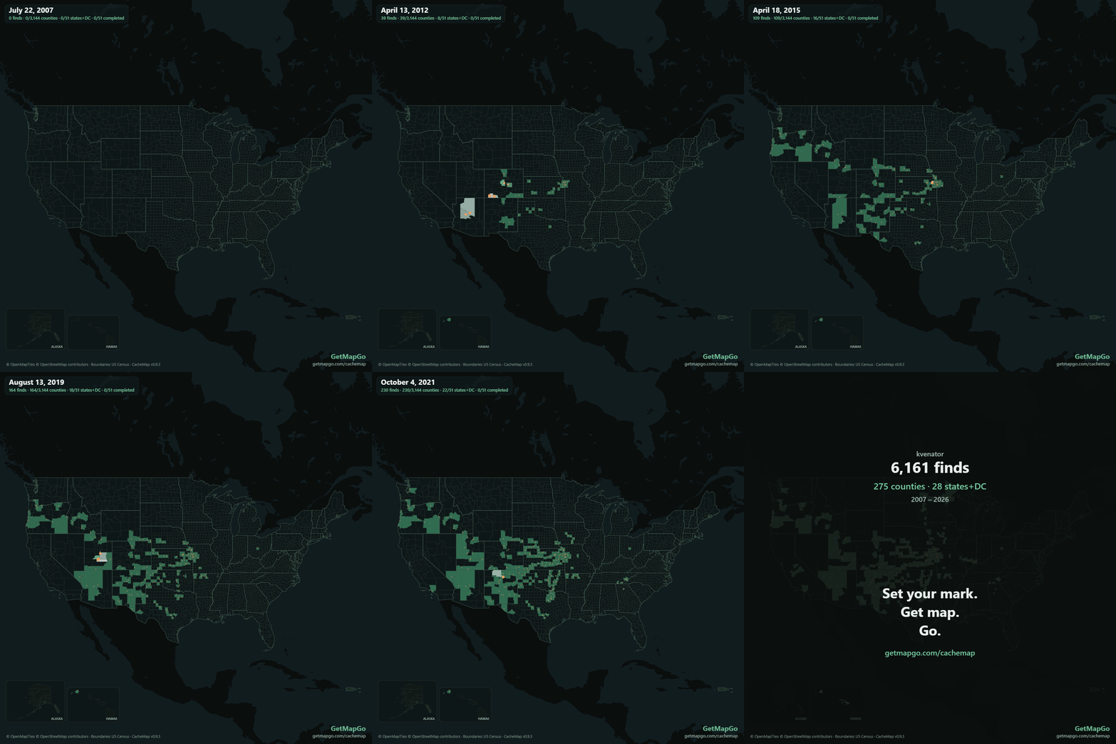
CacheMap by GetMapGo is a free, browser-based tool that turns your geocaching history into an animated county-by-county map. Upload the "My Finds" file from geocaching.com and watch your finds light up the United States, find by find, year by year — whether that's your first season of caching or your twentieth. Then export it as an MP4 video, an animated GIF sized for your geocaching profile, or a PNG poster.
Try CacheMap free — no account needed
How do I get my "My Finds" file from geocaching.com?
- Sign in at geocaching.com (Premium membership is required for Pocket Queries).
- Go to Pocket Queries (Play → Pocket Queries).
- Click Add to Queue next to My Finds. Groundspeak generates it within a few minutes (you can re-queue it every 3 days).
- Download the ZIP from the Pocket Queries Ready for Download tab.
- Drop the ZIP (or the .gpx inside it) straight onto CacheMap — no need to unzip.
Is my find data uploaded anywhere?
No. Your file is processed entirely in your browser — parsing, county matching, animation, and export all happen on your own device. Nothing about your finds is sent to our servers or anyone else's. The only things your browser downloads are the map tiles and public boundary data.
How are counties determined?
Each find is matched against US Census county boundaries (3,144 county equivalents, including Connecticut's planning regions). Finds near a county line are automatically re-checked against full-resolution TIGER/Line boundaries — the exact legal lines — and either verified or corrected. You can review everything before sharing: fix a county, add a missing date, exclude a find, or mark a flagged find as OK. Your corrections are saved in your browser per cacher (family members can share a device) and can be downloaded as a file to restore on any machine.
Cross-checking against Project-GC? Export a county CSV there and drop it on CacheMap — it shows exactly where the two disagree and lets you accept its counties for solved puzzles (posted coordinates are all any GPX contains; a corrected-coordinates CSV knows better).
How do I put the animated GIF on my geocaching.com profile?
Geocaching.com converts uploaded images to static JPEG, which kills animation. The reliable recipe:
- In CacheMap, export a GIF with the "use settings for geocaching profile" preset (1080px, 60 seconds, fixed camera).
- Upload the GIF to Google Drive and set sharing to Anyone with the link.
- Copy the file ID from the share link and embed this URL in your profile: https://lh3.googleusercontent.com/d/FILE_ID
- CacheMap's export dialog has a converter that builds this link for you from a pasted Drive share link.
Drive rejects GIFs larger than ~1080px, and its preview page may spin on
long GIFs — the lh3 link still works. Dropbox share links with ?raw=1 are a
good fallback host.
Quick answers
What does CacheMap cost?
Nothing. It's free, with no ads and no account. If it made you smile you can
buy me a trail snack  .
.
What are the export options?
MP4 video (up to 1080p), animated GIF (frame-diff optimized, profile-ready), and a PNG poster of your final map with your stats.
Does it work on phones?
Yes — the layout adapts to portrait and landscape, and playback fades the controls away so the map fills the screen.
What about finds outside the US?
International finds are listed with their country and excluded from the county animation (it's a US county map). Your totals still show how many were set aside and why.
Who makes this?
Spanyo LLC — the maker of GetMapGo, an upcoming offline hiking and backpacking maps app. CacheMap is free forever; if you like it, check out GetMapGo.